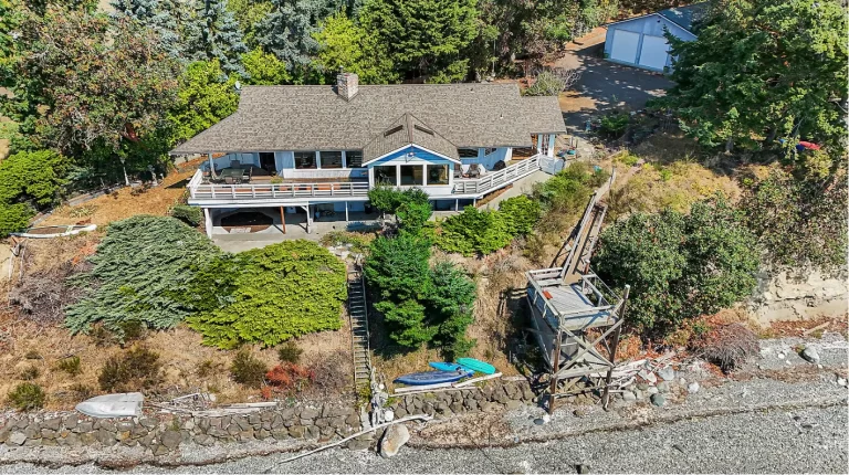
Why Drone Photography Is Becoming Standard for Washington Listings
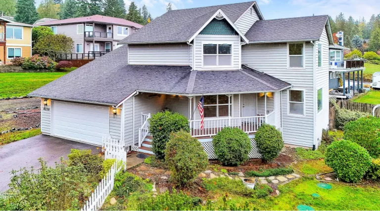
Real estate marketing in Washington has shifted toward visuals that help buyers understand properties more quickly. Many buyers begin with online listings and make early


Real estate marketing in Washington has shifted toward visuals that help buyers understand properties more quickly. Many buyers begin with online listings and make early
In Washington’s residential market, buyers form opinions long before an in-person showing. Property listings now function as the first screening tool, shaping interest through images