Real estate marketing in Washington has shifted toward visuals that help buyers understand properties more quickly. Many buyers begin with online listings and make early decisions based on photos and videos. In that environment, drone media has moved from an optional add-on to a common expectation for many agents.
This trend is especially clear in Puget Sound, where water views, tree cover, slopes, and dense neighborhoods can change how a property feels from one block to the next. For that reason, real estate drone photography in Washington has become a standard part of modern listing strategies.
Aerial Perspectives Provide Clear Property Context
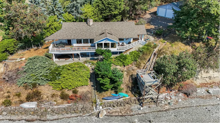
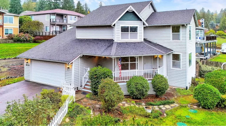
Traditional ground-level photos describe interiors and street-facing views, but they cannot explain how a property fits within its surroundings. Drone photography presents an overhead perspective that shows rooflines, driveways, outdoor areas, and natural boundaries in one frame. This is especially helpful when a listing includes multiple outdoor spaces.
In Washington markets with wooded parcels, waterfront access, or hillside construction, aerial angles clarify details that standard photography cannot capture. Buyers gain a clearer sense of distance between neighboring homes, slope orientation, and access points. This clarity supports informed interest and reduces uncertainty during early listing review.
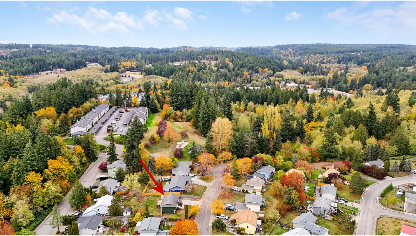
Neighborhood Understanding Shapes Buyer Confidence
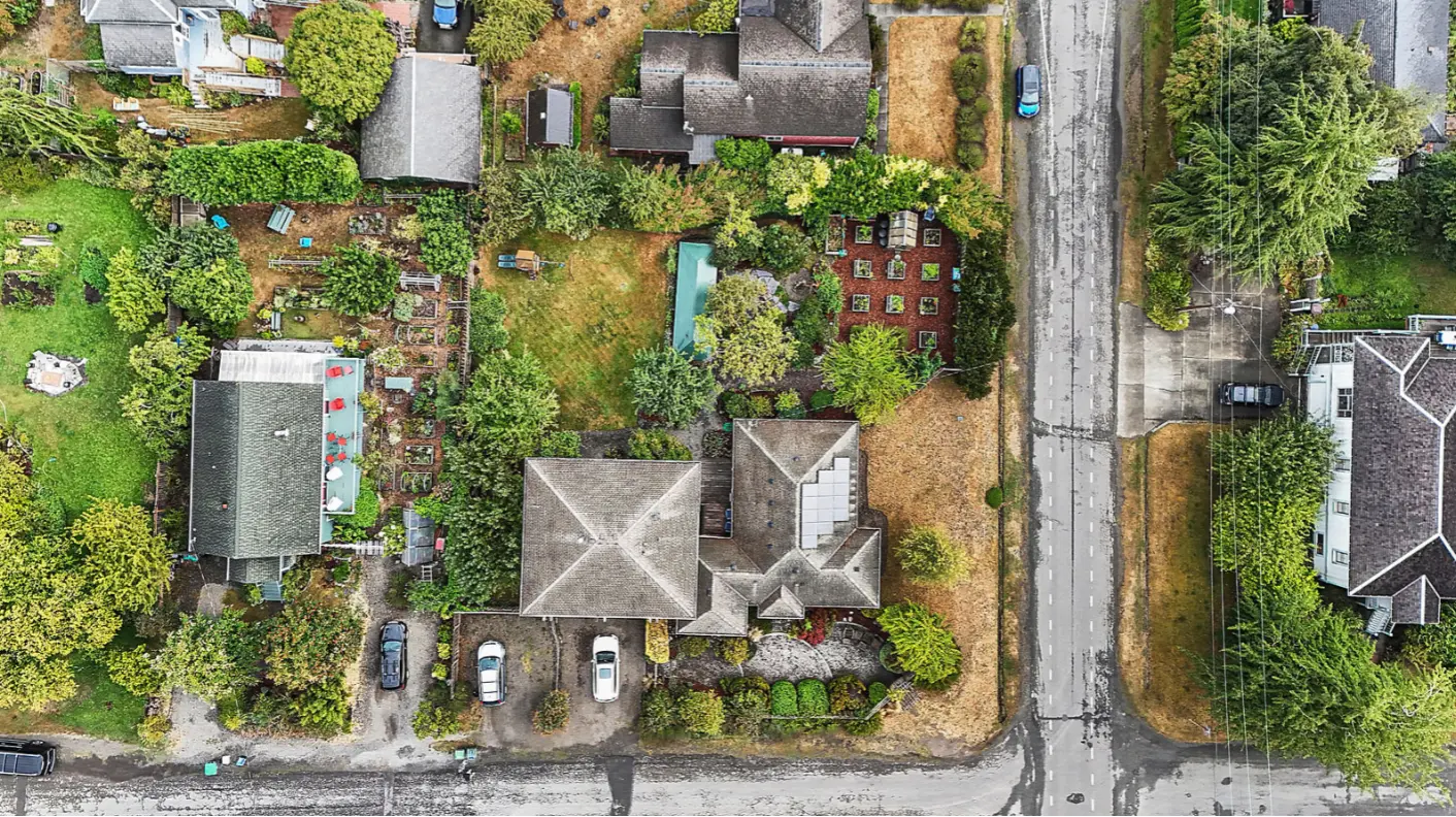
Location remains a major factor in residential decisions. Drone imagery can show the surrounding area quickly and clearly. Aerial views show proximity to water, green space, transit routes, and surrounding development patterns.
For Puget Sound listings, drone coverage often highlights shoreline access, marina distance, trail systems, or nearby community features. Buyers reviewing multiple listings benefit from visual comparisons that show how properties relate to each other. This advantage helps agents present location value without lengthy descriptions or separate mapping tools.
Lot Size and Outdoor Space Become Easier to Assess
Lot size and usable outdoor space can be hard to judge from ground-level photos. Drone photography outlines property boundaries and outdoor features in a way that floor plans and interior photos cannot support.
Aerial images show yard depth, fencing, decks, docks, and landscaping layouts in a single frame. Buyers gain a stronger understanding of usable outdoor space before visiting in person. For larger parcels or irregular lots, this clarity prevents confusion and sets accurate expectations.
Competitive Markets Demand Strong Visual Differentiation
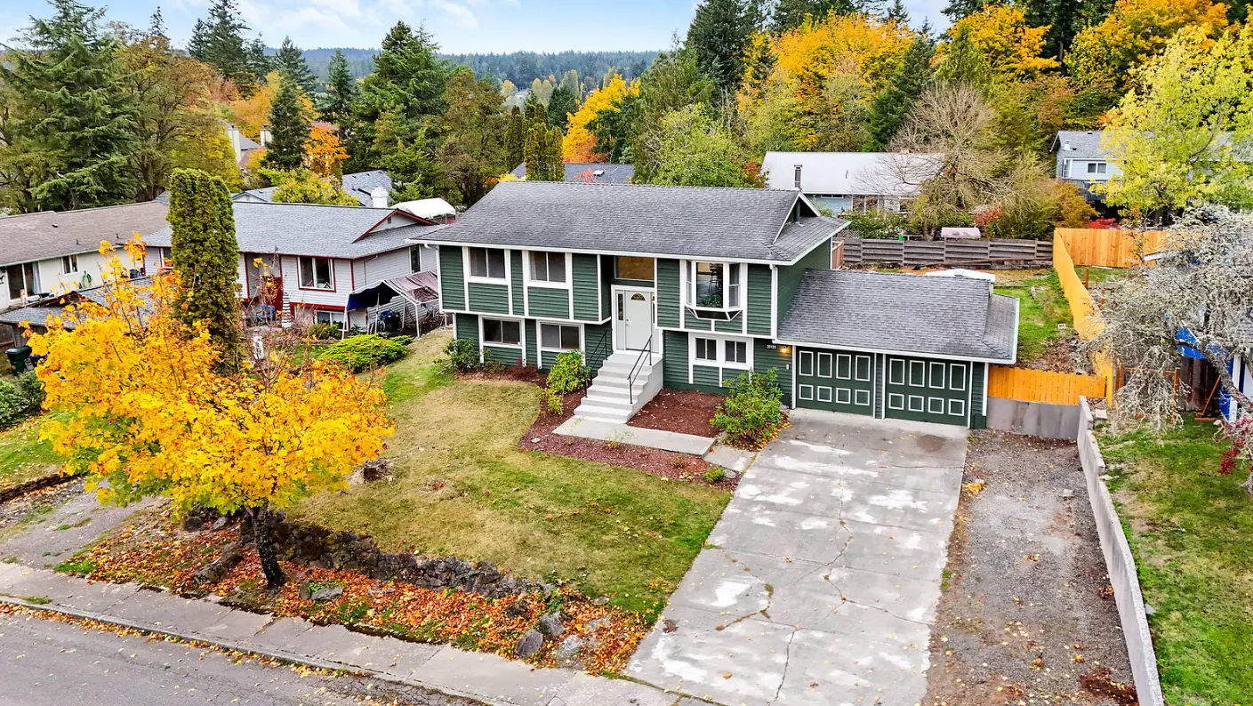
Puget Sound real estate markets remain competitive across price ranges. Listings often receive brief attention windows online, as potential buyers scroll quickly. Drone photography helps listings hold interest by offering perspectives that standard photos cannot match.
Agents who include aerial media present listings with greater clarity and structure. These visuals support listing performance across search platforms and social media channels. As a result, real estate drone photography in Washington has become a practical method for helping listings stand out during early buyer review.
Drone Media Supports Modern Listing Packages
Drone photography integrates naturally with modern real estate marketing tools. Aerial images complement interior photos, video walkthroughs, and interactive tours. This combination supports a complete visual presentation that meets current buyer expectations.
Listings that include drone footage often pair well with mapping features and property summaries. Agents gain flexibility when creating marketing materials across listing portals, social media, and presentations. This consistency supports professional branding and market credibility.
Compliance and Safety Standards Matter in Washington
Professional drone operators follow Federal Aviation Administration guidelines for commercial flight, including Part 107 requirements. Licensed pilots plan flights carefully to respect airspace rules, weather conditions, and property boundaries.
In Washington, this compliance protects sellers, agents, and neighboring properties. Professional drone work prioritizes safety, clear communication, and lawful operation. This supports responsible use of aerial media while maintaining trust across all parties involved.
Buyer Behavior Supports Continued Adoption
Buyer behavior increasingly favors listings that communicate information quickly. Aerial imagery reduces uncertainty and answers location-based questions early in the search process. As buyers grow accustomed to this level of detail, expectations continue to rise.
Agents who adopt drone photography align their listings with current buyer habits. This alignment supports stronger engagement. For this reason, real estate drone photography in Washington now functions as a standard component of professional listing presentations.
Complete Real Estate Media Services in Washington with Haze Grey Creative
At Haze Grey Creative, we deliver professional visual solutions designed for today’s competitive property market. Through real estate photography, including drone real estate photography and real estate media services, we support agents across the Olympic Peninsula and Puget Sound.
Our real estate listing photography services include 3D home tours, virtual home tours, and drone property video coverage. Contact Haze Grey Creative today to schedule professional media support for your next listing with an expert real estate photographer and videographer.